 NimbleMap
Formats · .gpkg
Open a GeoPackage as a map in one drop
A GeoPackage is one tidy file that can hold many map layers (points, lines, polygons, and tables). Portals and research datasets increasingly ship .gpkg instead of a folder of Shapefiles.
How
Open it in NimbleMap
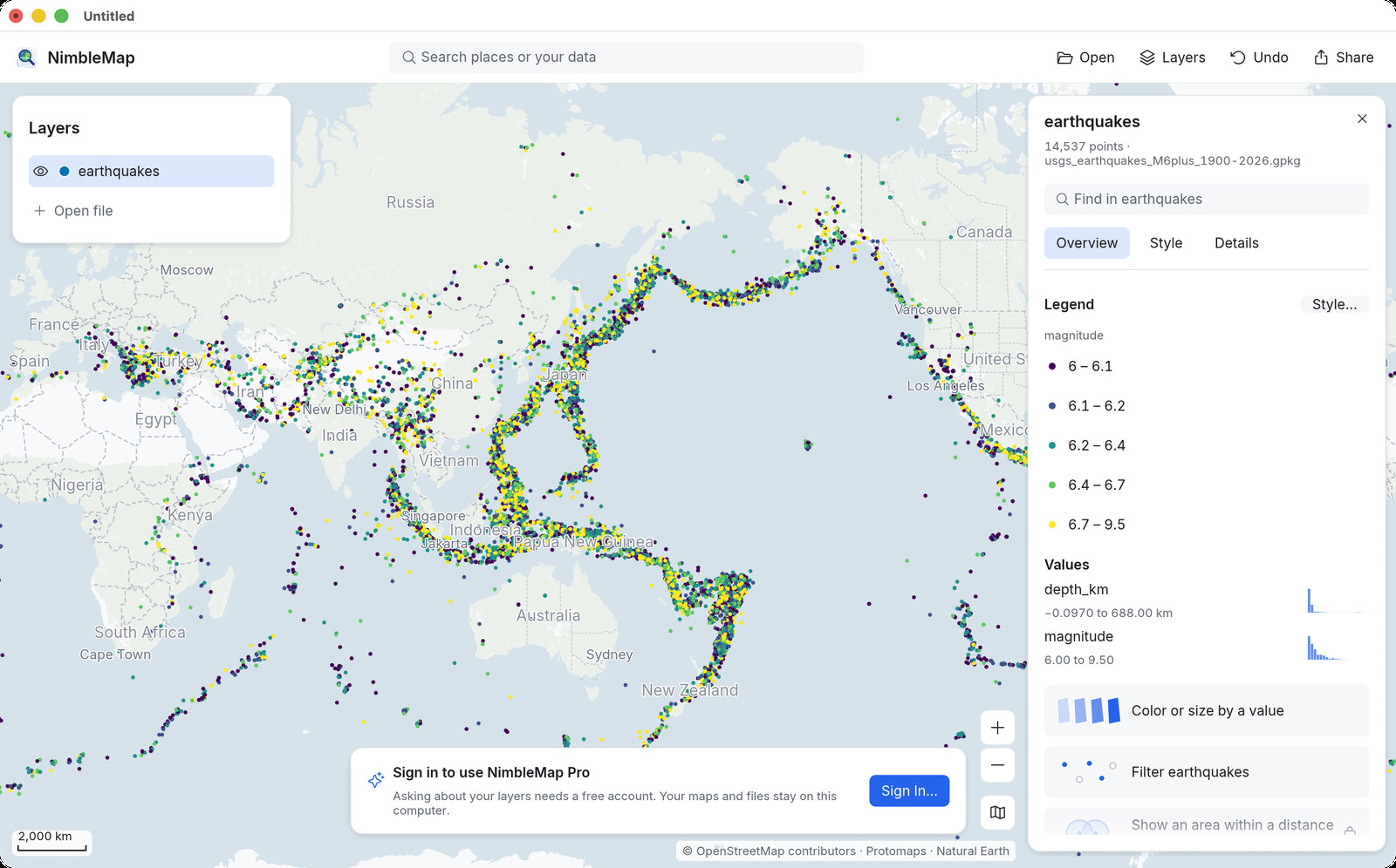
Drag the .gpkg into NimbleMap, or double-click it. Layers appear in the list; click features for attributes.
Why not Preview, a browser tab, or QGIS
When a simple map viewer is enough
New browser GeoPackage viewers exist, but large local files and multi-layer stacks belong on the desktop. Opening a GeoPackage in QGIS works, yet for a simple look you should not need a full project. NimbleMap opens it in one drop.
Questions
Common questions
How do I open a GeoPackage on Mac?
Double-click the .gpkg or drag it into NimbleMap.
Can one GeoPackage hold several layers?
Yes. NimbleMap lists them so you can turn layers on and off.
Is this a QGIS alternative for viewing?
For viewing, colouring, filtering and exporting a map image — yes. For editing shapes or building processing models, use QGIS.
Also see: GeoPackage viewer · Shapefile · NetCDF · GeoTIFF · NimbleMap vs QGIS