 NimbleMap
Free · Mac & Windows · offline
Shapefile viewer
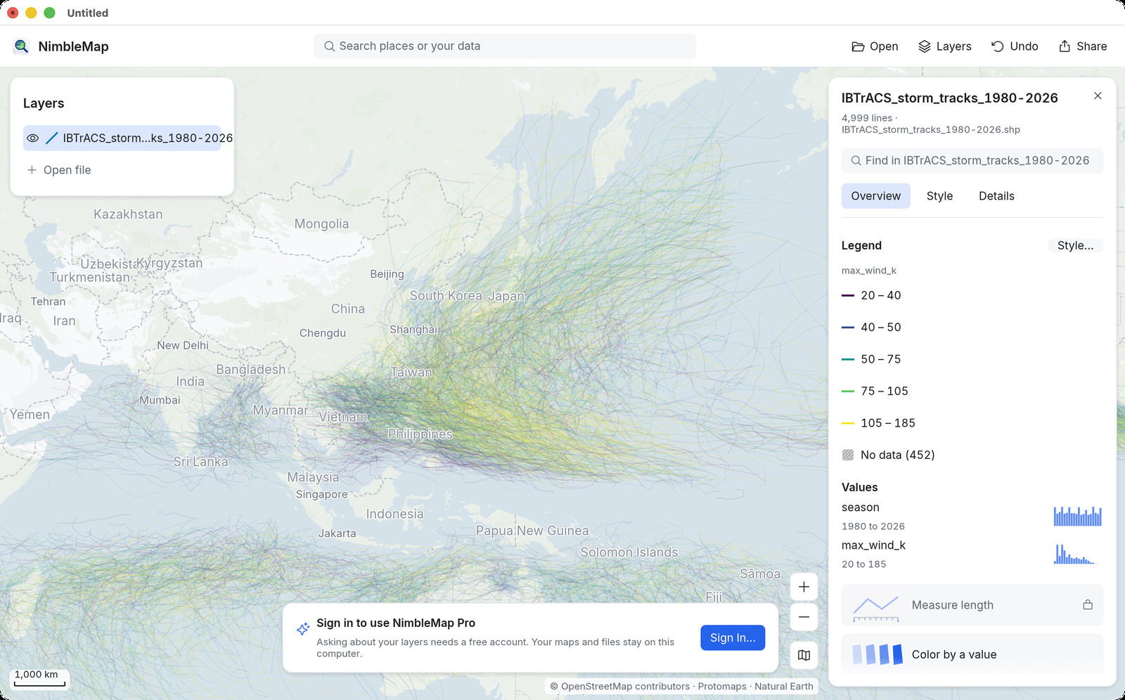
Open a Shapefile (.shp) as a map in one drop. Free for Mac and Windows. Drag and drop, files stay on your computer — no upload. When you need a peek without QGIS, this is enough.
How · .shp (+ .dbf, .shx, .prj)
Drag it open on Mac or Windows
Drag the .shp or its .zip into NimbleMap, or double-click it. Keep the sidecar files beside it. Attributes show in a table and on a card when you click a shape.
Why not a browser tab or QGIS
Free, local, and enough for a look
Browser Shapefile viewers ask you to upload. Quick Look apps only peek. QGIS can open a Shapefile, but usually wants a project and a CRS first. NimbleMap is for when you just need to see it, stack another layer, and export a map image.
Questions
Common questions
Is there a free Shapefile viewer for Mac or Windows?
Yes. NimbleMap is free. Drag the .shp or its .zip into the app; files stay on your computer.
Can I view a Shapefile without QGIS?
Yes. No project to create and no coordinate system to set — just drag it in.
Does the Shapefile viewer work offline?
Yes. Your files never leave your computer. Basemap tiles need a network only when you want them.
Do I need all the Shapefile sidecar files?
Yes for a clean open. Keep .shp with .dbf, .shx, and .prj in the same folder, or drag the .zip that holds them together.
Can NimbleMap open a zipped Shapefile?
Yes. Drag the .zip into NimbleMap or the browser try; it reads the .shp set inside without uploading.
Is NimbleMap a free alternative to ArcGIS for viewing Shapefiles?
For viewing and light overlay, yes. It is free and local. It is not a full ArcGIS or QGIS replacement for editing, geoprocessing, or cartography suites.
Does viewing a Shapefile require an account?
No. Opening files needs no signup. An account is only for the optional Pro Ask box.
Can I overlay a Shapefile with a GeoTIFF or CSV?
Yes. Open each file as a layer and toggle visibility. That is the main job when you only need to see layers together.
Does NimbleMap work offline with Shapefiles?
Yes. File viewing is offline. Only optional basemap tiles need a network.
Mac or Windows Shapefile viewer?
Both. Apple silicon Mac (macOS 13+) and Windows 10/11 x64. Or try in the browser at nimblemap.app without installing.
Also see: Shapefile viewer · GeoTIFF viewer · GeoJSON viewer · GeoPackage viewer · NetCDF viewer · CSV to map · vs QGIS