 NimbleMap
Formats · .shp
Open a Shapefile as a map in one drop
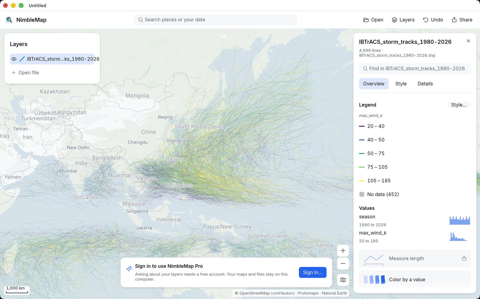
A Shapefile is a set of files that hold map shapes — boundaries, roads, storm tracks — plus a table of attributes. The main piece is the .shp; keep the matching .dbf, .shx and .prj beside it (or open the .zip they came in).
How
Open it in NimbleMap
Drag the .shp or its .zip into NimbleMap, or double-click it in Finder. Attributes show in a table and on a card when you click a shape. Older files in Chinese or other encodings are read with their .cpg.
Why not Preview, a browser tab, or QGIS
When a simple map viewer is enough
Browser shapefile viewers ask you to upload the file, and Mac Quick Look apps only peek. A full map desk such as QGIS can open a Shapefile, but you usually need a project and a coordinate system first. NimbleMap is for when you just need to see the file, stack another layer on top, and export a map image — files stay on your computer.
Questions
Common questions
Is there free software to open a Shapefile on Mac or Windows?
Yes. NimbleMap is free. Double-click the .shp, or drag it or its .zip into the app. Keep the sidecar files next to it.
Can I open a Shapefile without QGIS?
Yes. Drag it into NimbleMap. No project to create and no coordinate system to set.
Why do my CSV points not sit on my Shapefile?
Often the Shapefile is projected (metres) while the CSV holds latitude and longitude. NimbleMap reads the .prj and converts so both line up.
Also see: Shapefile viewer · GeoPackage · GeoTIFF · NetCDF · NimbleMap vs QGIS