 NimbleMap
Free · Mac & Windows · offline
CSV coordinates to map
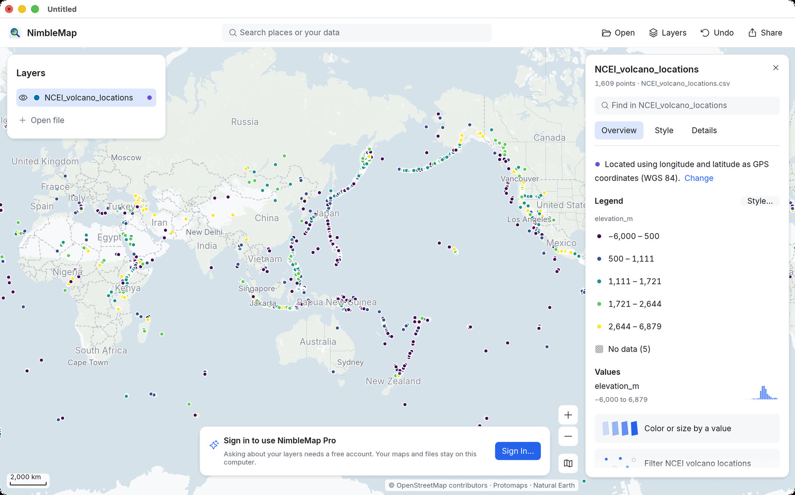
Plot a CSV (or TSV / Excel) with latitude and longitude columns as points on a map. Free for Mac and Windows. Drag the file in; overlay a Shapefile or GeoTIFF. Files stay on your computer — not “CSV to Google Maps.”
How · .csv / .tsv / .xlsx
Drag it open on Mac or Windows
Drag the spreadsheet into NimbleMap. It picks latitude and longitude columns (or you choose them). Points land on the map; colour by a field; stack with other layers.
Why not a browser tab or QGIS
Free, local, and enough for a look
Online “CSV to map” tools are crowded and upload your rows. Google My Maps owns “CSV to Google Maps” — we do not chase that. NimbleMap is for desktop CSV coordinates to map: large local files, offline, and overlay with a Shapefile that browsers handle poorly.
Questions
Common questions
How do I plot CSV latitude longitude on a map?
Drag the CSV into NimbleMap. It detects lat/lng columns and draws the points.
CSV to map without uploading?
Yes. Desktop NimbleMap keeps the file on your computer and works offline.
Can I overlay CSV points on a Shapefile?
Yes. Open both; NimbleMap lines them up when the Shapefile has a .prj.
How do I map a CSV with latitude and longitude?
Open the CSV in NimbleMap and point it at the lat/lon columns; points appear on the map. No Google My Maps upload required.
Free CSV to map for Mac or Windows?
Yes. NimbleMap is free; files stay on your computer.
CSV to Google Maps alternative offline?
Yes. NimbleMap plots lat/lon CSV locally without sending the sheet to Google.
Do column names have to be lat/lon?
Common names work; you can pick the coordinate columns if names differ.
Account required?
No for opening CSV maps.
Overlay CSV points on a Shapefile?
Yes. Open both as layers.
Works offline?
Yes for the CSV. Basemap tiles need network if you use them.
Also see: Shapefile viewer · GeoTIFF viewer · GeoJSON viewer · GeoPackage viewer · NetCDF viewer · CSV to map · vs QGIS