 NimbleMap
Free · Mac & Windows · offline
NetCDF viewer
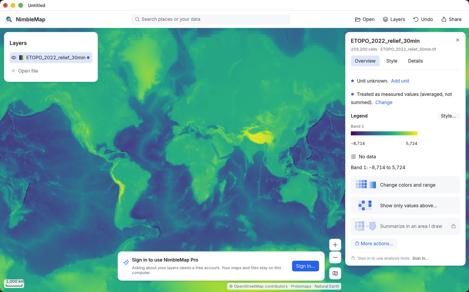
Open NetCDF (.nc) climate and weather grids as a map in one drop. Free for Mac and Windows. Drag and drop with a time slider — no Java, Python, or Panoply. Files stay local.
How · .nc
Drag it open on Mac or Windows
Drag the .nc into NimbleMap. Use the time slider to step or play through the days. Colour by value; click a cell to read it.
Why not a browser tab or QGIS
Free, local, and enough for a look
Panoply is the science-lab default. Browser NetCDF tools exist for a peek. NimbleMap is for when you want a casual NetCDF map viewer — drag-open, time slider, overlay with other layers — without installing a science stack or uploading the file.
Questions
Common questions
Is there a NetCDF viewer for maps without Panoply?
Yes. NimbleMap opens .nc as a map with a time slider. No Java required.
NetCDF viewer for Mac or Windows?
Both. Drag the file in; it works offline.
Can I try a NetCDF map online first?
Use Try in browser for a quick peek, then download when files should stay on your computer.
Can I open NetCDF without specialized scientific software?
Yes for a map look. Drag .nc into NimbleMap when the file has geographic grids NimbleMap can draw.
Free NetCDF map viewer?
NimbleMap is free for Mac/Windows viewing; browser try available for a quick peek.
Does NetCDF leave my machine?
No upload for viewing. Files stay local.
NetCDF vs GeoTIFF?
Both can hold gridded data. Use the format you downloaded; NimbleMap opens both when mapped.
Account needed?
No for viewing.
Offline?
Yes for the file itself.
When should I download vs try in browser?
Try in browser for a quick peek; download when you want the desktop app offline.
Also see: Shapefile viewer · GeoTIFF viewer · GeoJSON viewer · GeoPackage viewer · NetCDF viewer · CSV to map · vs QGIS